Cash is king. Do not expect Visa, AMEX, or Mastercard to be acceptable everywhere, and even when the shop has a terminal, that they will work. The same for ATM’s.
From Narita. Several buses and trains ferry between Narita and Tokyo. Choose the one that gets you nearest to your accommodation. Busses end at Tokyo, Shinjuku, or Shibuya Station. The fast Skyliner train runs every 20 mins ending at Keisei-Ueno Station.
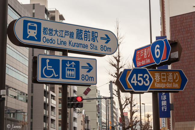
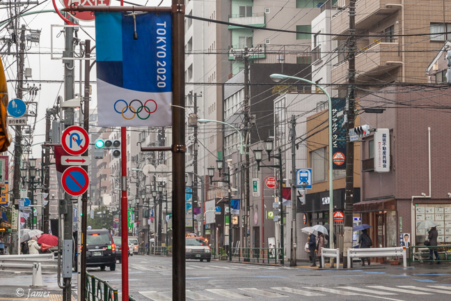
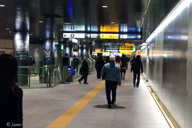
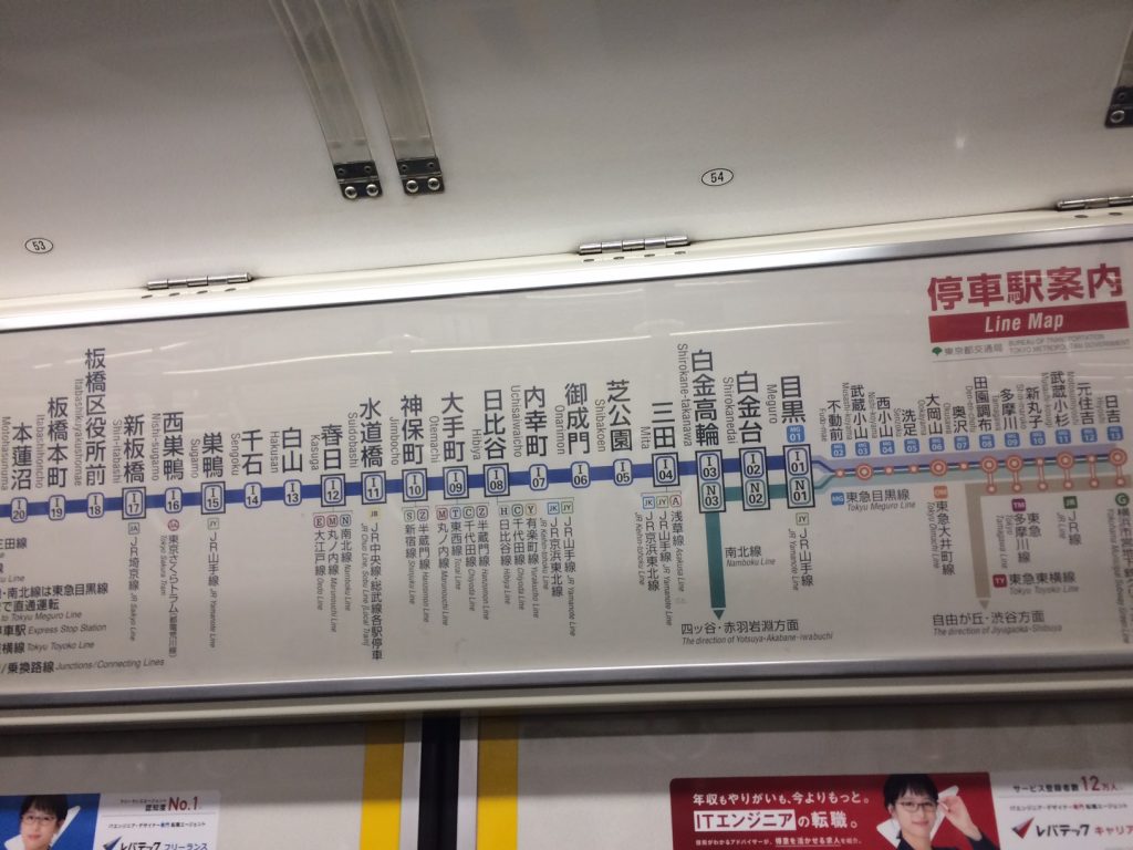
In Tokyo. If travelling light, the local subway/train will get you everywhere fast, but lifts and escalators are rare, steps frequent and high, and tunnels long. Signs are good, usually with sufficient English. There is a difference between the subway and trains – the latter is on the surface. I have sometimes gone down to a subway only to find the train back out top. Its not too clear which is which, but the JR line is usually a surface train. There are several lines, all colour coded. The stations are numbered for the line eg A6 or V3, all very helpful. Signs hang in all the tunnels to show the way, but it can still be confusing – I have seen indecisive Japanese.
The ticket machines are daunting; I have yet to be comfortable to use them. We were helped to buy Suica cards, minimum charge Y1000, which allow one to pass the gates easily, though paper tickets can be bought. Help is always available at the gates, as well as at infrequent Tourist offices at the major stations.
On the train, a screen above the door posts the next station, and a voice also gives information. Determining which platform 1 or 2, is usually also posted by a route or line station map on a board or pillar on the platform, also listing the other lines intersecting. It’s all very clear once one gets to know what to look for.
Google is excellent for the subway, providing all you need, a map of the route, the station distances, interchanges, and cost. I would have been lost without it, so preservation of battery life is important. Another very useful ap is maps.me, a Moscow based development which is light on data as maps can be downloaded before travel, leaving it to show your location without need for data or wifi. A route can be planned and saved to it too, a little too complex at present. These two aps were the most useful, though pdf’s ON the phone (not in the cloud) were of assistance occasionally.
Mt Fuji. Kawaguchiko west of Tokyo is an excellent venue for views of the active volcano. Trains and buses run there from Shinjuku and Tokyo stations. The bus is highly recommended as being direct and easy to use – no steps and corridors.
Further afield. Google is again an excellent guide in Tokyo, but if you buy the cheaper/easier Japan pass, you will need other information as google only lists the very fast train, which is not included in the pass. For the pass (Hikari and slower trains) the Hyperdia ap is excellent.
Images:
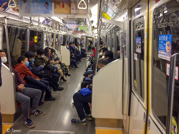
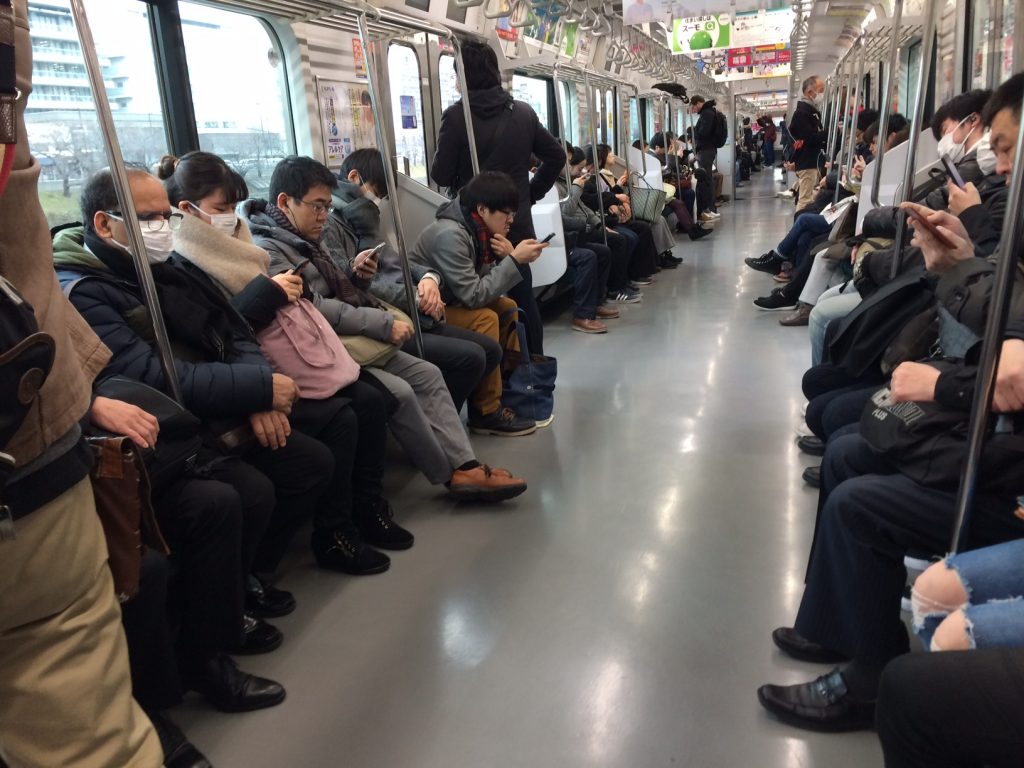
Street signs, station sign (blue carriage sign on the middle right), a long corridor with hanging signs, in the carriage, and a route map in the carriage.
Cash. Wow. So interesting for such an advanced country