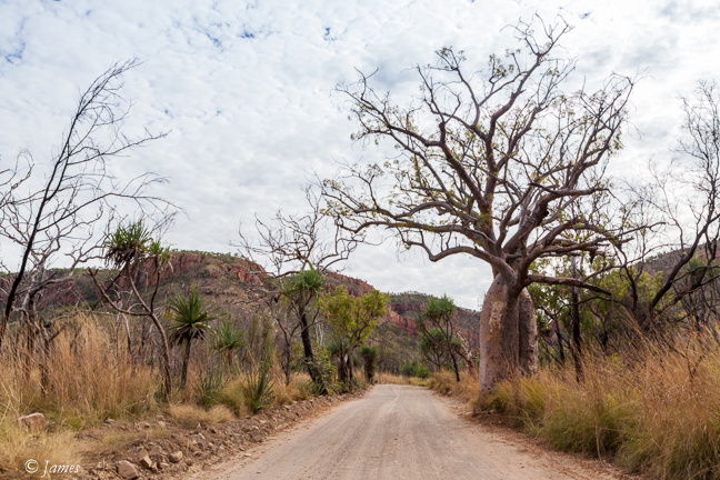
The iconic Gibb River road can only be driven in a 4×4, due to the river crossings and rough dirt surface, dusty now but muddy in the wet when it is almost impassable. The rentals offer limited comfort eg sleeping in a tent on the roof, or renting a plain 4×4 and spending nights in a ground tent or the expensive lodges/stations along the route. Another option is an expensive group tour expedition. The highlight photo op for me is the view of the Coburn Range from the west looking east at sunset, so we rented a plain 4×4 for a day trip across the Pentecost river for this view. 100km of paved road took us to the El Questro turn and a further 19km dirt south.
Our first stop was Zebedee hot spring, a short walk across boulders through Pandanus to the cliff face. The water is a pleasant 25-32C; pools have been created by small rock walls across the stream where a busload were cooling off.
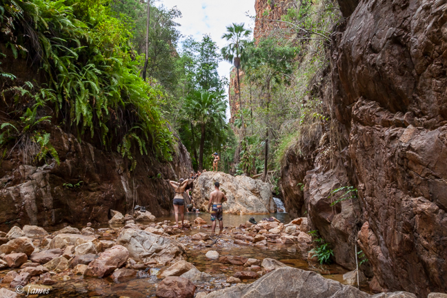
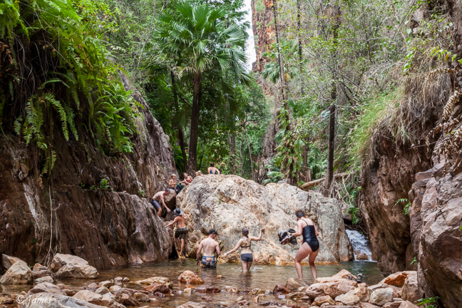
Next was El Questro Gorge, a branch of the Chamberlain River, said to be the best of the several gorges here. It’s a very rough boulder-strewn track along the stream bed which takes 30mins to the half-way point where a massive boulder blocks the way with deep pools each side. Taking photos makes it a 90 min trek both ways. The gorge is another world in contrast to that above; it is narrow, with ferns on the high cliff one side, red cliff on the other; small waterfalls and pools are formed by the boulders so wet feet are inevitable. The track from the road to the car park is fine apart for a 1m deep stream crossing, probably not ok for a car. We were a little unsure whether to risk it, but it’s only about 20m across with a firm rocky floor.
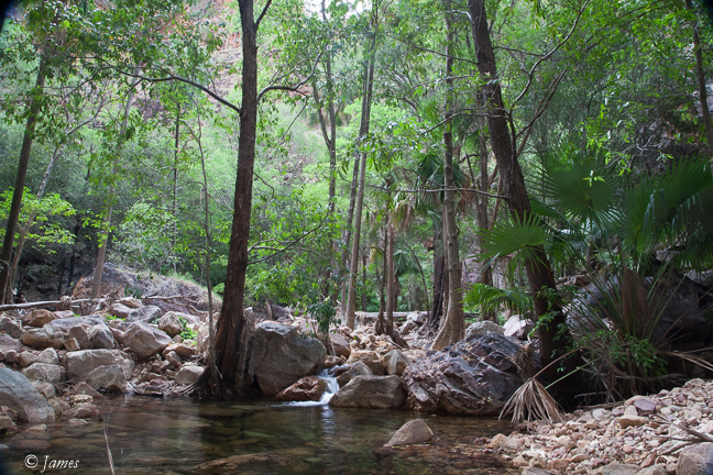
We had lunch at El Questro overlooking Moonshine creek; it was pleasant apart for the flies which were determined to carry away the sole we ordered.
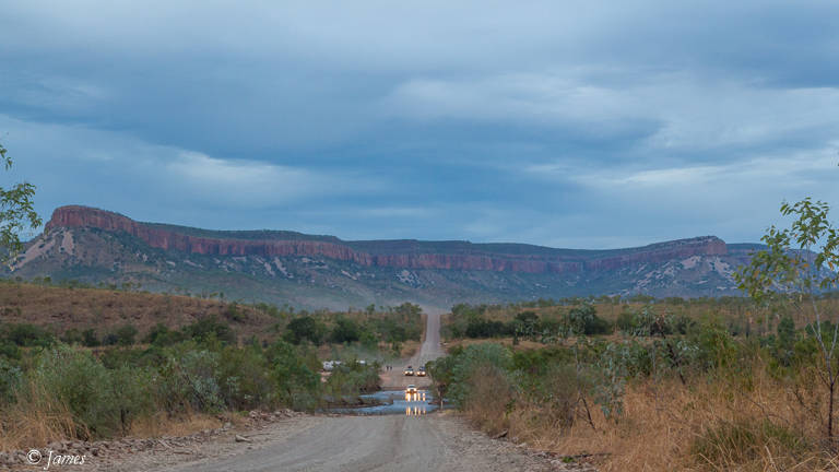
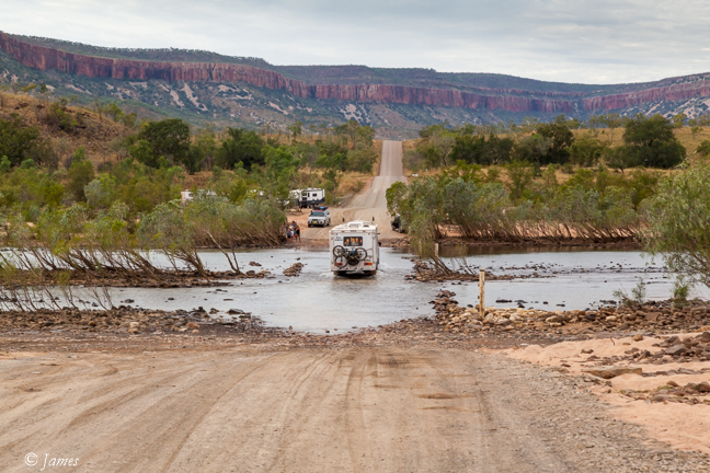
We returned to the Gibb River road, again crossing the small Moonshine creek, followed by a further 25km dirt to the crossing. The Pentecost crossing is tidal and short, fed by the Chamberlain and Pearson rivers which cut deeply into the plain to the south and east. We were there an hour before low tide so the water was no more than 0.5m deep over the unpaved, rock strewn 100m wide crossing; I doubt a car could manage this. We joined the several groups camping on the broad banks in the scrub on the east side watching 4×4’s, caravans, and busses crossing from the west, to gauge their progress before making the attempt ourselves. We found it slow but easy. (See 25th May).
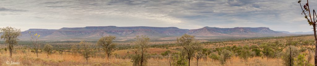
The road climbs a little to the lookout on the west side providing a wide view of the scrub valley and Coburn range, from the north-east to the south-east. BUT the cloud cover today did not allow the sun to light up the top of the range in that special red. I shot several panoramas as the light changed, hoping for the sun to peep out for a second, but it didn’t. We returned to the crossing where I set up on the road edge to take single shots as vehicles crossed, then a few with Hilary driving across again and back. (It was disappointing, but weeks later I was able to bring out a reasonable shot in Lightroom).
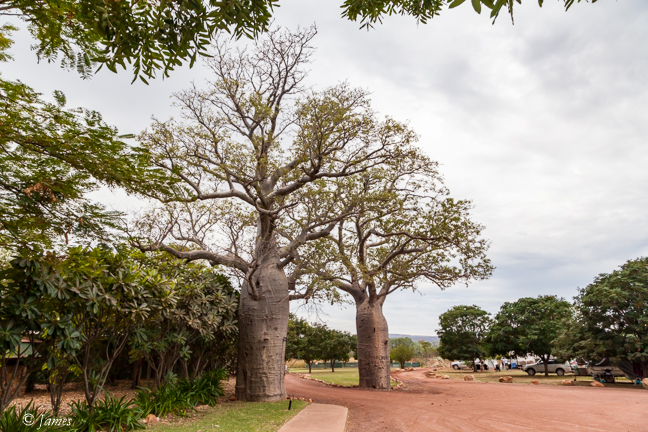
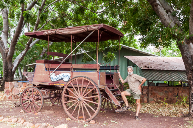
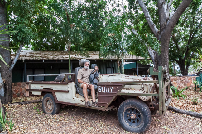
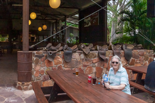
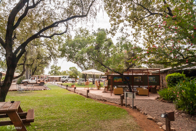
Home Valley Station 10km further has an authentic aura of a real station, as opposed to the up-market El Questro. A beer to slake my thirst and back to Kununura we went, arriving in the dark as sunset is early, 5pm.
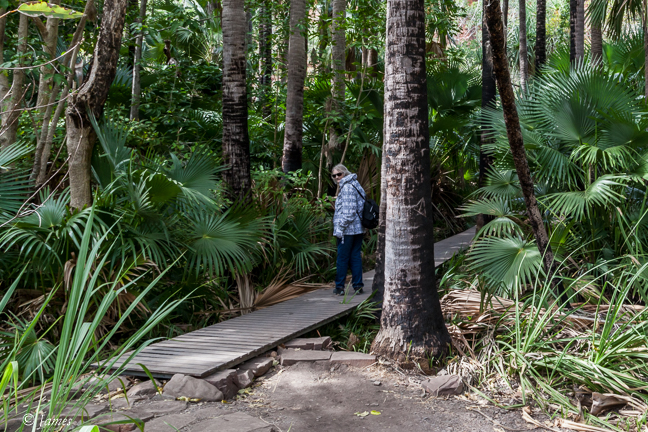
Zebedee 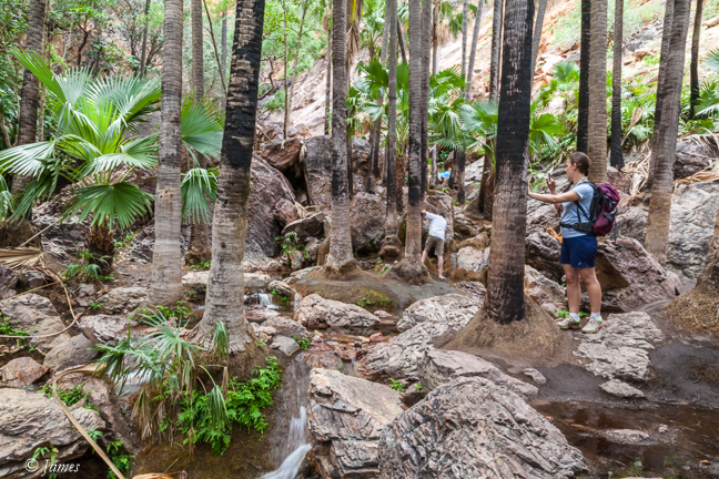
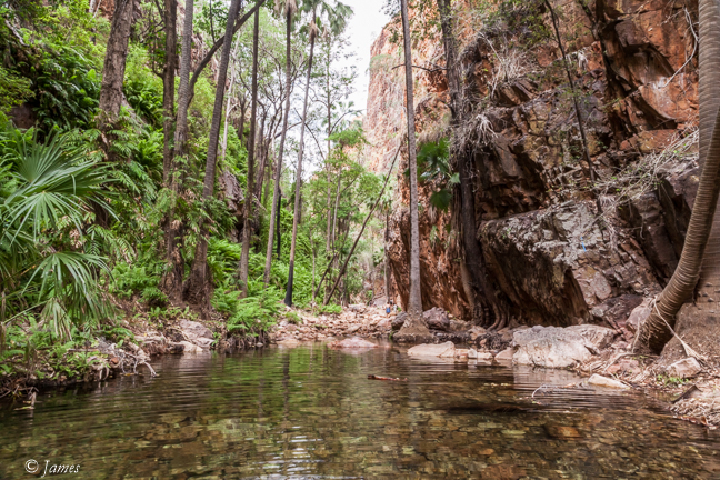
El Questro Gorge 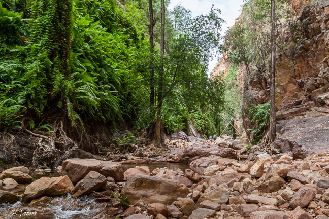
El Questro lunch 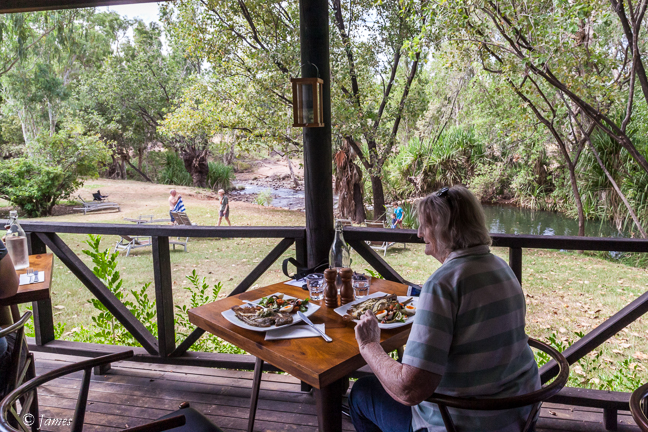
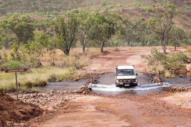
Moonshine Creek 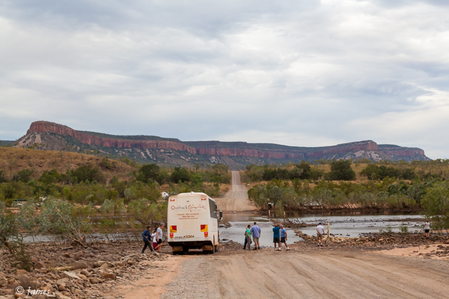
Pentecost River 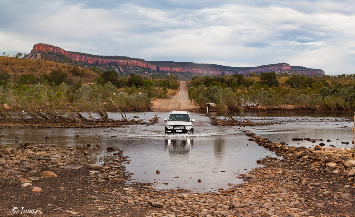
Home Valley Station